
Mapped Out 2017
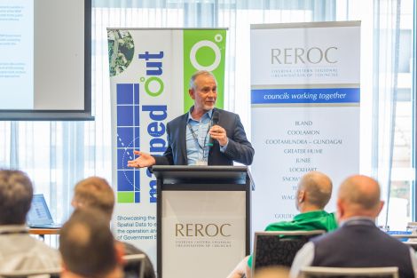
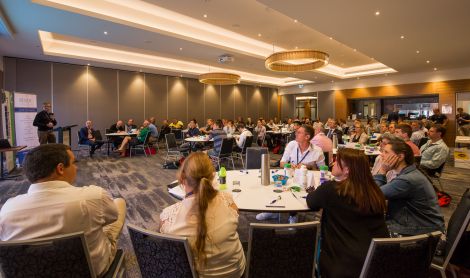
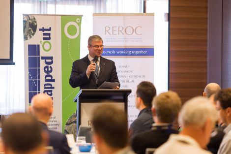
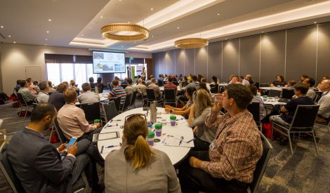
The 2017 Mapped Out Conference was held on Thursday 9 November at The Rules Club in Wagga Wagga.
Over 80 people attended the Conference that once again highlighted the diversity of applications for spatial data, geographic information systems and their supporting technologies.
The Conference was once again organised by REROC and the Riverina Spatial Information Group (RivSIG).
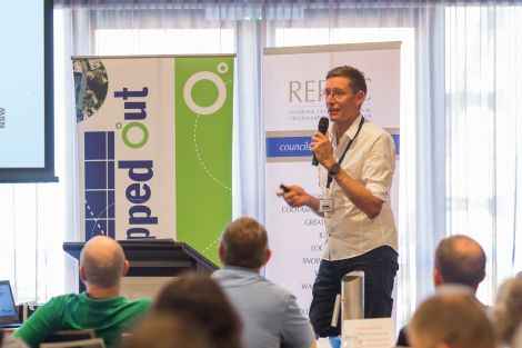
To download a copy of the Speaker presentations, please click on their name below:
- Ron Avery & James Miller, Office of Environment & Heritage and Informed Solutions - SEED (Sharing and Enabling Environmental Data) Portal
- Sam Ebert, TAFE NSW - What we have learnt through our Drone Essentials Training
- David Southwell, Australian Bureau of Statistics - 2016 Census Data: data release schedule and key findings
- George Havaskis, GISSA Australia - CAD, GIS & Asset Management
- Gary Johnston, GeoScience Australia - GDA2020, SBAS and Elvis Portal
- Mike Day, Office of Environment & Heritage - Processes used for the State Vegetation Map
- James Davis, Junee Shire Council - Delivering council strategic outcomes through Spatial Data
- Stephanie Plattner, NSW State Emergency Services - NSW Flood Data Access Program
- Wayne Patterson, NSW Spatial Services - Update and overview of Spatial Services
If you would like further information on the Conference, or to discuss Trade Stand opportunities for the 2018 Conference, please contact the REROC office on 02 6931 9050 or email [email protected]
Please click here to download the 2017 Conference Brochure.