
Mapped Out 2013
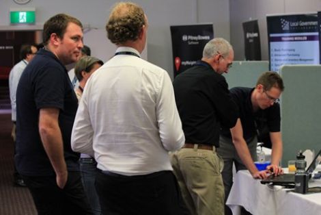
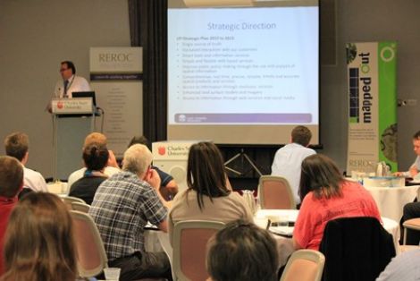
The latest in spatial data applications was showcased at the 2013 Mapped Out Conference held in Wagga Wagga on Thursday 17 October. 95 people attended the Conference which was held at Charles Sturt University's Convention Centre.
The theme for the Conference was ‘Maps on the Move’. The Conference is a great opportunity for people working in regional NSW in both local government and the private sector to keep abreast of the latest technology and geographical information systems that can be utilised in their day to date work.
The Conference was once again organised by REROC and the Riverina Spatial Information Group (RivSIG).
To download a copy of the Speaker presentation, please click on their name below:
- Elliott Simmons - SES, NSW Flood Database
- Tony Kelly & Daniel Smith - Coolamon Shire Council, Regional Transport Planning
- Professor Bruce Forster - Asia-Pacific Remote Sensing, Forty years of Landsat: the Landsat Data Continuity MIssion
- Barrett Higman - Alpine Shire Council, There's a mApp for that!
- Ron Avery - Office of Environment & Heritage, Reforming NSW Vegetation Information
- David Baker & Simon Best - Australian Bureau of Statistics, Mapping Census Data
- Robert Dahni - Bureau of Meteorology, Mapping Weather Information
- James Davis - Junee Shire Council, Using Spatial Data for Executive Decision Making
- Greg Windsor - Land and Property Information, LPI Web Services
- Ross Johnson - Surveying & Spatial Sciences Institute, SSSI Update