Mapped Out 2016
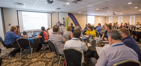
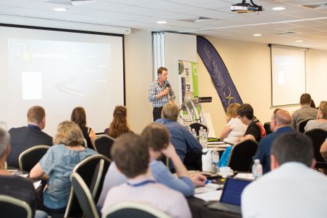
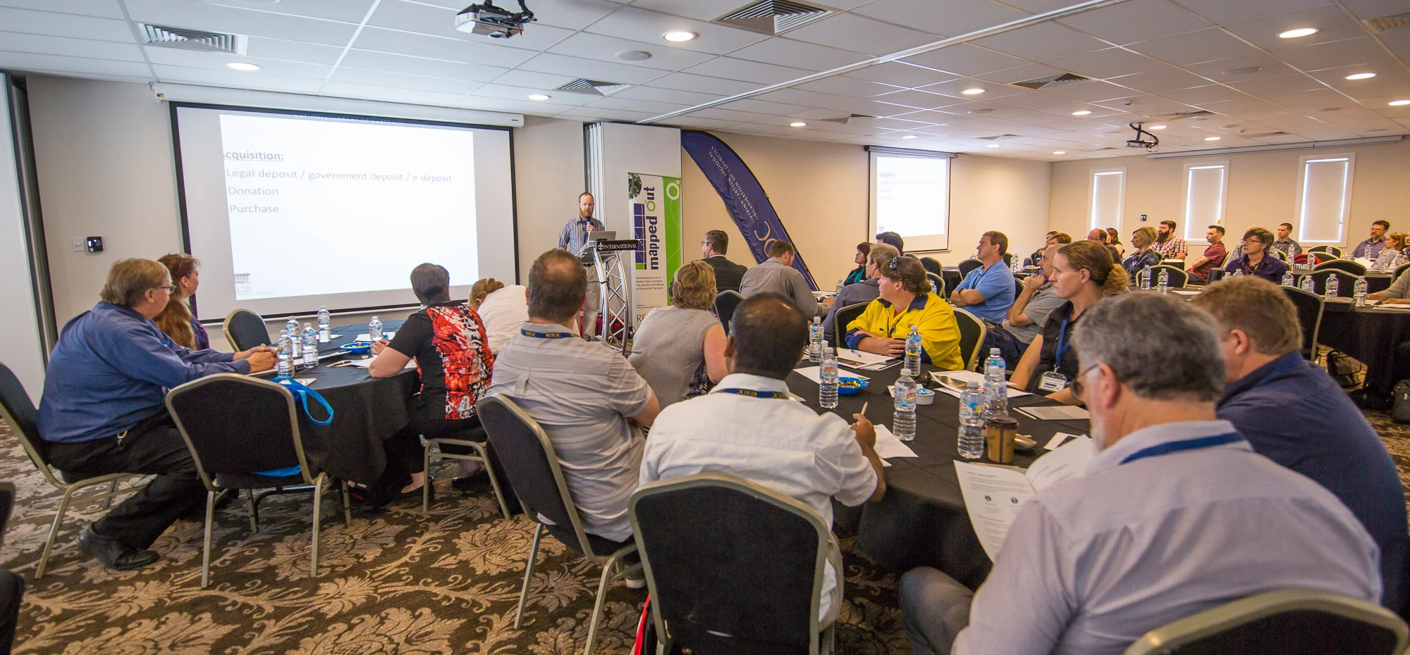
The 2016 Mapped Out Conference was held on Thursday 10 November at The International Hotel in Wagga Wagga.
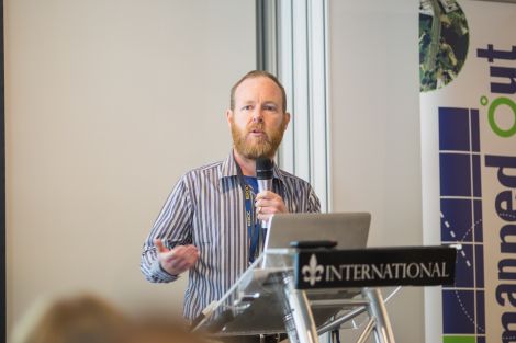
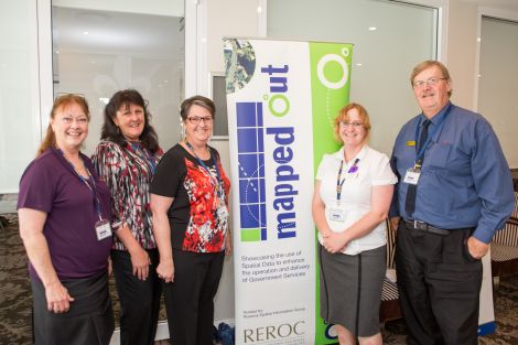
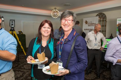
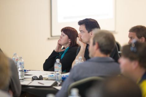
Over 80 people attended the Conference to find out the latest information in Spatial Data. Mapped Out once again highlighted the diversity of applications for spatial data, geographic information systems and their supporting technologies. Guest speakers with local and national experience showcased the use of spatial data to enhance the operation and delivery of government services.
The Conference was once again organised by REROC and the Riverina Spatial Information Group (RivSIG).
To download a copy of the Speaker presentations, please click on their name below:
- Brendan Whyte, National Library of Australia - Trove Digital Library; new ways of collecting and delivering maps
- Elissa Schuhkraft, Forestry Corporation - Mobile field data capture; the Forestry way
- Dr Louise Steding, Swinburne University (online) and Stedinger Associates: Grave Doubts: Detecting burials and boundaries
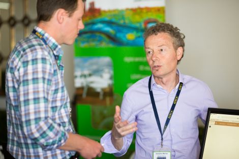
- Graeme Martin, Spatial Vision - Improving Spatial Capabilities of Councils
- Dr Phillip Blevin, Trade & Investment NSW, Geological Survey of NSW - Statewide desktop mapping of naturally occuring asbestos in NSW, known and potential for occurence
- Tom Steele, Leeton Shire Council - GIS Asset Management without an AMS
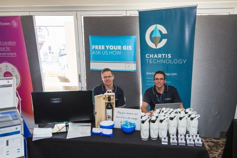
- Matt Robinson, Chartis Technology - GIS Weed Management for the Biosecurity Act
- Katie Dick, Spatial Vision - #1 Seeing the Divide; #2 Rubbish, Rodents to Humpback Whales
- Michael Dixon, PSMA Australia - Geoscape: Capturing Australia's built environment
- Brenton Ray, Land and Property Information - Surface Model Enhancement Project update
Please click here to download the 2016 Conference Brochure.