
Mapped Out 2014
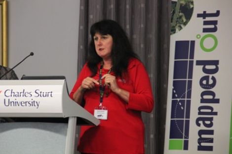
The annual Mapped Out Conference was held on Wednesday 22 October 2014 at Charles Sturt University in Wagga Wagga.
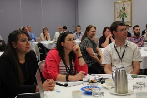
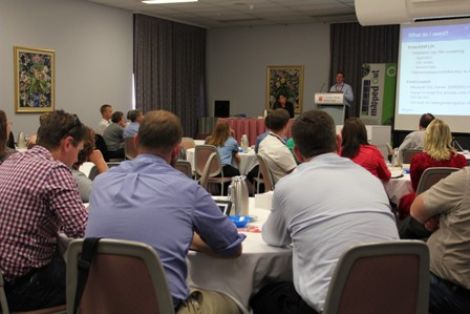
Once again, the latest in spatial data applications was showcased at this year's Mapped Out Conference with 72 people in attendance.
The Conference continues to be a great opportunity for people working in regional NSW in both local government and the private sector to keep abreast of the latest technology and geographical information systems that can be utilised in their day to date work.
The Conference was once again organised by REROC and the Riverina Spatial Information Group (RivSIG).
To download a copy of the Speaker presentation, please click on their name below:
- Brenton Ray, Land and Property Information - Working with point clouds & SME project
- Narelle Hobson, Junee Shire Council - Junee Cemeteries
- Paul Yacobellis, Balmoral Group Australia - Street Sweeping Optimisation
- Malcolm Ridges & Geoff Simpson, Office of Environment & Heritage - Mapping Culture on Country
- Paul Roper & David Keys, Australian Bureau of Statistics - Table Builder
- Andrew Grant, Goldenfields Water County Council - GWCC Data Acquisition Network and GIS Water Quality Colour Thematic Mapping
- Max Ainscough & Maria Xygaki, PItney Bowes - Best Practices for using LPI Data in Council
- Terry McDonell, Corowa Shire Council - Using Databases to effecitvely manage Spatial information
- Greg Windsor, Land and Property Information - LPI News